hmeter
The app uses Google Maps,


The app uses Google Maps,
Record, display, and export data from your smartphone's internal sensors.
The ultimate tool for the sensors of your smartphone.

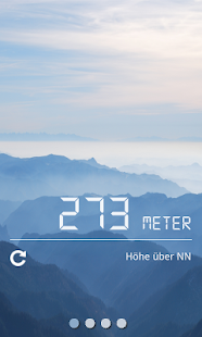
Get the elevation profile of the path!
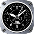
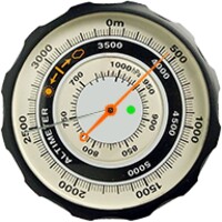
An aviation style altimeter that uses the barometer sensor of your device.
Altimeter professional. Share photos of your excursions and walks.